Frequently Asked Questions
We hope we have answered all your questions in the list below. If there is something not covered, please don't hesitate to contact us.
How difficult are the trails?
All our trails are generally Grade 3. (With some seasonal variation)
Work is ongoing to improve the more challenging trails – but in general riders should be experienced and confident to tackle more remote off-road environments, or busier intersections.
They vary greatly. The easiest are wide, smooth and flat or gently undulating. As they get harder you can expect any combination of narrow, muddy, stony or even cobbled, as well as more hilly terrain requiring long climbs or short, technical sections where you may need to dismount and walk.
To make it easy to find the right ride for you, each of the Mountains to Sea trails are graded according to New Zealand’s official grading system.
Can I do the trail in parts or as a whole end to end adventure?
Our connected pathways are designed to be flexible. So, if you’re up for it – then the full trail experience is an epic adventure. Otherwise, choose the sections that suit your time availability and experience/ability. Many of the trails can be connected for short mini breaks – so you can keep coming back to explore (Check out our suggested itineraries)
How much time should I allow to ride the trails?
Generally, most riders will tackle the full adventure in 4-6 days, but it’s up to your fitness, logistics and time. We do encourage you to slow down (and make sure you take an extra day in Whanganui to explore the arts and history!)
For details on each trail including estimated ride times, ride profiles and trail information, head to the trail section page.
What direction should I ride the trail in?
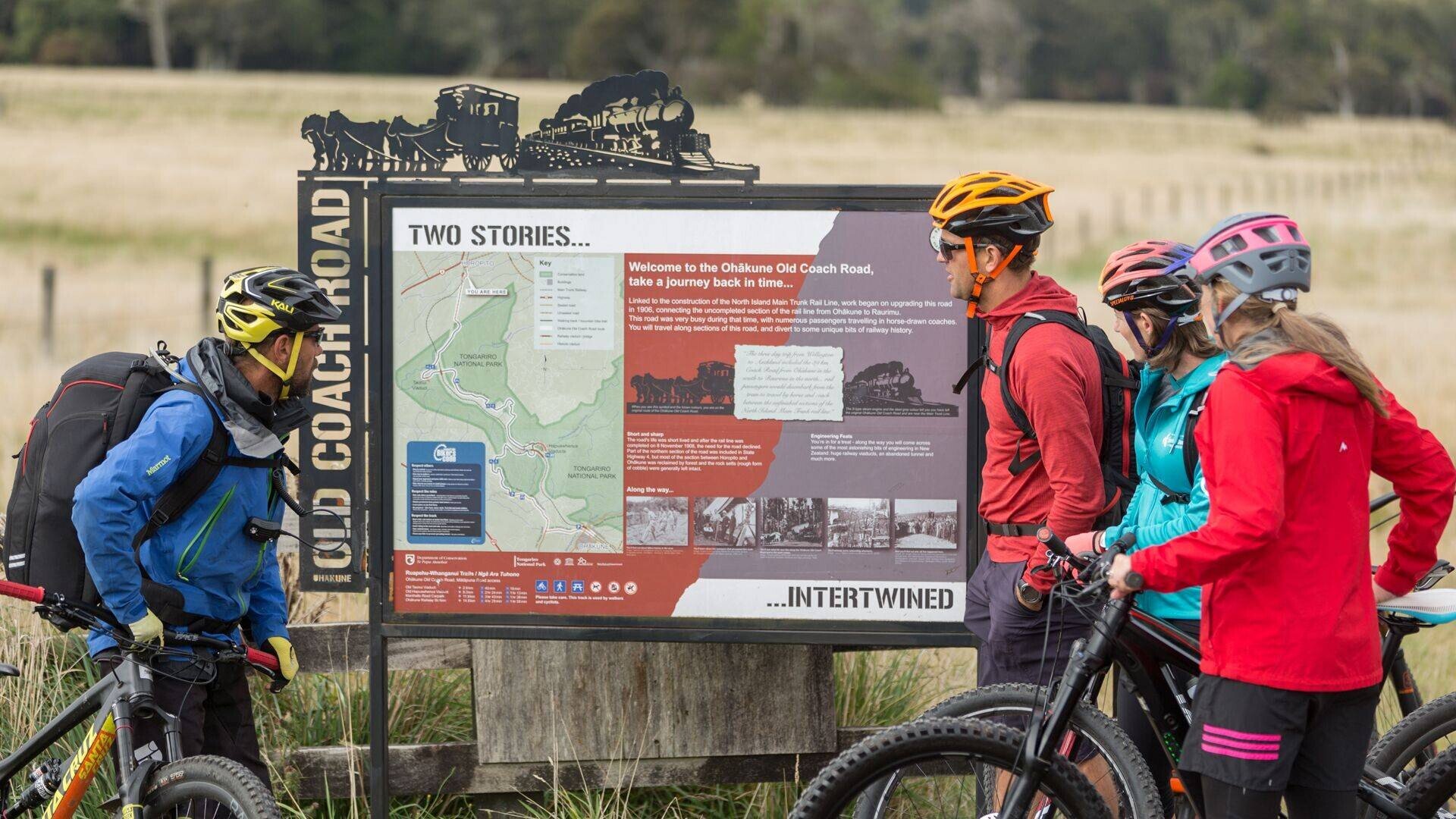
Generally, the trail is ridden from North to South (and slightly to the West) (Tūroa to the Tasman Sea). Ohakune Old Coach Road is often ridden from Horopito back to Ohakune when ridden as a standalone ride to simplify logistics and to make the most of the overall descent.
What is the correct route?
When is the best time to ride the trail?
All trails may be ridden at any time of the year except the Mangapurua which may be closed in Winter or after severe weather. The key is preparation – check our website for latest trail status
Are the trails free to ride?
Thanks to government funding, along with the hard work and support of local communities, riding the Mountains to Sea trails is free. By visiting and spending money around the trails, you can contribute to their maintenance and development.
All the trails are on publicly accessible land, and maintained by the Department of Conservation, Ruapehu and Whanganui District Councils – with other funding and volunteer support.
If you would like to support the trail – please head to mountainstosea.nz/support – a few minutes of your time completing the online survey will make a huge difference to our funding and advocacy.
Where can I buy food?
Plan ahead! Outside of Ohakune and Whanganui there are few places to purchase food. Most of the accommodation stops will offer full board options – but do check.
What kind of bike is suitable?
We recommend a mechanically sound hard tail or full suspension mountain bike for the best experience. The off-road sections are best suited for wider knobbly tyres to maximise your grip.
Road or gravel bikes are suitable for Whanganui River Road and the Upokongaro – Tasman sections
E-bikes are permitted – but riders should ensure that they can safely manoeuvre over and around obstacles if required – and they have sufficient battery and planned recharging stops.
Where and what kind of accommodation is along the trail?
A wide range of accommodation is offered on the trail from luxury stays, simple B&B’s and DOC campsites. Check our website for your choice from our official trail partners.
Is there a luggage transfer service?
Our official partner shuttle companies may offer bag transfers – check for more details.
Are there toilet and water stops along the trails?
Yes, but plan ahead where possible (and take toilet paper and hand sanitiser). Toilets are marked on our maps. Please do respect our environment.
Water is available from all our towns and villages. Water is obtainable along the more remote sections from streams but we advise you to treat or boil as you would in any wilderness area.
Are the trails suitable for impaired riders?
Some sections of our trails do present obstacles such as steps, squeeze bars and narrow bridges. Contact us if you have any queries and we will try and assist with access queries.
Is there good mobile coverage or Wi-Fi along the trail?
There are limited pockets of reception (on the tops of climbs and in the towns), this is a chance to get away from it all. Turn your phone to flight mode and make the most of the extra battery life to take photos (or for an unforeseen emergency)
Wi-Fi can generally be found at accommodation sites but may be limited (and be respectful as mostly this is satellite coverage outside the towns)
Are some sections suitable for day rides?
Yes, all sections of the trail make great individual day ride adventures! Head to the Trails page and choose the section/s that appeal and fit your logistics.
Can I hire bikes?
Yes, contact our bike hire official partners in Ohakune, National Park Village and Whanganui for great hire services.
Where can I get maps and trail guides? Do you have gpx files?
Maps for each section are available at all our trail partners for free, or you can download them from the trail page.
Gpx files are available from the NZ Great Rides App.
What weather should I expect?
The trails cover a multitude of climates and altitudes – and the weather can vary from snow in the Winter and Spring on the central plateau through to sunny hot days, especially in the valleys. Be prepared for all weathers – and pack your beanie and sunscreen. Check out our suggested packing list for a comprehensive guide.
How can I report a trail maintenance issue or an incident on the trail?
Head to mountainstosea.nz/support and log a report. Thank you for being our eyes and letting us know if things aren’t quite right so we can provide a great riding experience for all!
When did the trail open?
The trail has its genesis in the late 1980's, with various tramping tracks and newly rediscovered abandoned roads connected to create the routes that form the trails we have now. Supported by the Government of the day as part of an economic stimulus package, the community has worked hard to build an exciting and fulfilling journey for all.
How long is the trail?
The full length of the Classic experience trail is 231 kms, but in all there are 329kms of trail with more being opened for you to explore.
Do I need to carry a map?
Although the trails are well signposted, carrying a map will help you identify interesting landmarks as well as keep track of your ride timing for shuttle pick-ups and suchlike. You can view and download maps from the individual trail pages.
Need help booking?
Our local i-Site can help you plan and book your trip.
OR Book directly with Trail Partners and discover the Mountains to Sea's cycle trail journeys for yourself.